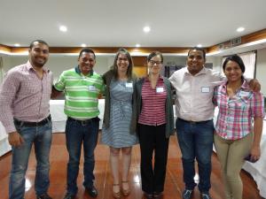
Valledupar, Colombia
Valledupar is located in the Northwestern part of Colombia about 490,000 people live there. It is characterized by a large number of fruit trees present in public areas such as parks, sidewalks, and central sidewalks; this is mainly because of a municipal initiative. The most common tree found there is the mango (Mangifera indica). Valledupar is surrounded by scattered trees and artificial pastures alternate to sustain farmers’ activities. In this sense, Valledupar is an important center for the region’s agricultural, agro-industrial, and livestock production.
Valledupar is a city interested in conserving and taking care of its forest. For that reason, in 2016 the city with help of USAID and International Programs worked together to create a forest management plan. In this context, STEW-MAP was implemented. The goal of the STEW-MAP in Valledupar was to describe the characteristics of the organizations involved in forest management, as well as their spatial distribution in the territory, and the relationship between the groups.
Point of Contact: Michelle Johnson
Versión en Español
La ciudad de Valledupar está ubicada en la parte noroeste de Colombia, alrededor de 490,000 personas viven allí. Se caracteriza por una gran cantidad de árboles frutales presentes en áreas públicas como parques, aceras y aceras centrales, esto se debe principalmente a una iniciativa municipal. El árbol más común que se encuentra allí es el mango (Mangifera indica).
Valledupar está cubierto por un bosque significativamente intervenido, donde se alternan árboles dispersos y pastos artificiales para sustentar las actividades de los agricultores. En este sentido, Valledupar es un importante centro de producción agrícola, agroindustrial y ganadera de la región.
En 2016 la ciudad de Valledupar estaba muy interesada en conservar y cuidar sus árbolado urbano. Por esa razón, con ayuda de USAID y Programas Internacionales, la alcaldía de Valledupar puso en marcha la creación de un Plan de Manejo Forestal. En este contexto, se implementó STEW-MAP.
STEW-MAP en Valledupar tuvo como objetivo describir las características de las organizaciones involucradas en el manejo forestal, así como su distribución espacial en el territorio y la relación entre los grupos.
Punto de Contacto: Michelle Johnson

